Throughout history, pirates and explorers often relied on secret maps and coded symbols to mark the locations of hidden treasures. These maps were rarely straightforward. Instead, they were filled with cryptic markings, unusual symbols, and clever clues designed to keep valuable treasures safe from anyone who might discover them.
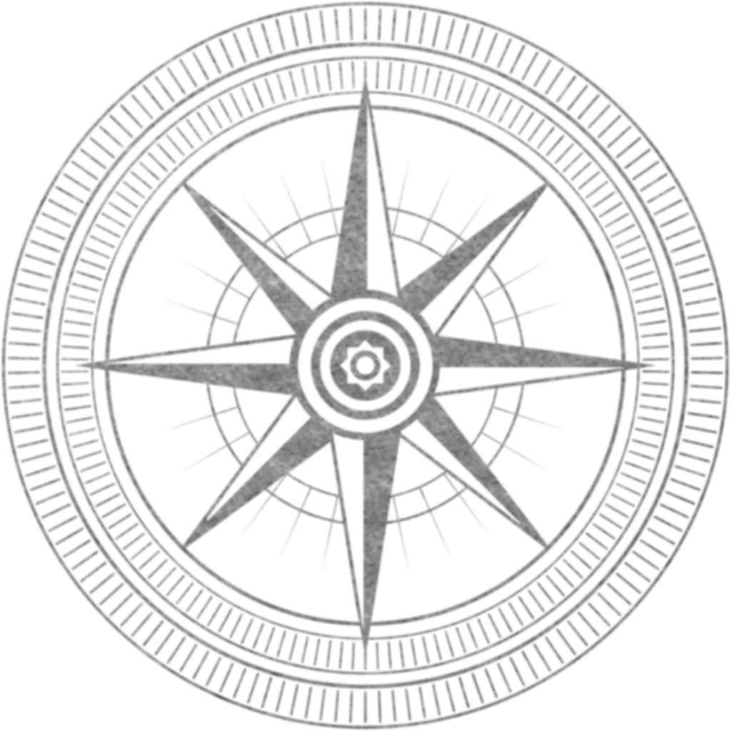
Learning how to read these ancient maps requires both patience and a keen eye for detail. Many historical treasure maps use symbolic landmarks such as skulls, crosses, compass roses, or strange geometric shapes to represent important locations. Natural features like large rocks, old trees, caves, and shorelines were often used as reference points to guide treasure hunters to the correct spot.
In some cases, the directions on pirate maps were intentionally misleading. Pirates would sometimes include false trails or hidden codes to prevent rival treasure seekers from easily finding their buried riches. Understanding the context of the map — including the time period, region, and the habits of the pirates who created it — can provide valuable clues for interpreting these mysterious markings.
Modern treasure hunters often combine traditional map-reading skills with historical research and modern technology. Satellite images, GPS tools, and archival records can help confirm whether a map’s landmarks still exist today or if they have changed over time.
While many pirate maps may be more legend than reality, studying their symbols and clues continues to captivate historians and adventurers alike. Map reading remains one of the most fascinating skills in the world of treasure hunting, where every symbol could potentially lead to a long-lost fortune waiting to be discovered.